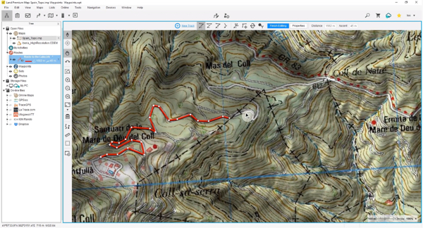
On initiating Land, by default a map will be displayed. Use it as a reference to know exactly the waypoints of your itinerary and the terrain you are going to walking on. Zoom in for more detail.
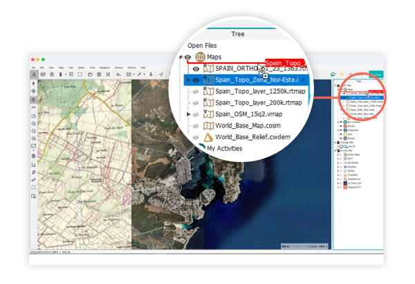
In addition to the base map, Land allows you to use your own maps, those of your friends or download from other on-line sources. You can also buy maps from all over the world directly from our on-line store. Open any map by clicking 'Open map' on the buttons bar.
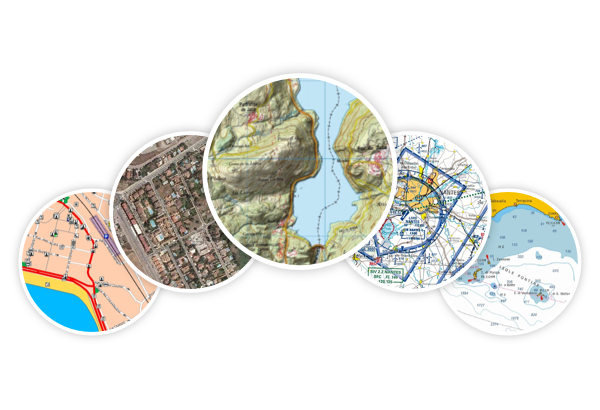
Topographic, Orthophotos, Roads, Aeronautics...
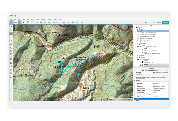
Open several maps of the same area and combine their information. From the data tree, select the map you want to show in first order and drag it to the first position.
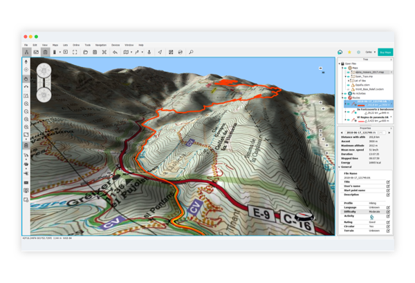
In addition, if you are using Land Premium, press the '3D' button in the toolbar and see a three-dimensional representation of the area. You also use the mouse wheel to move through the simulation.
In the following video you can see how to carry out all the previous steps.